The Welland Canal
The Welland Canal
Couldn't load pickup availability
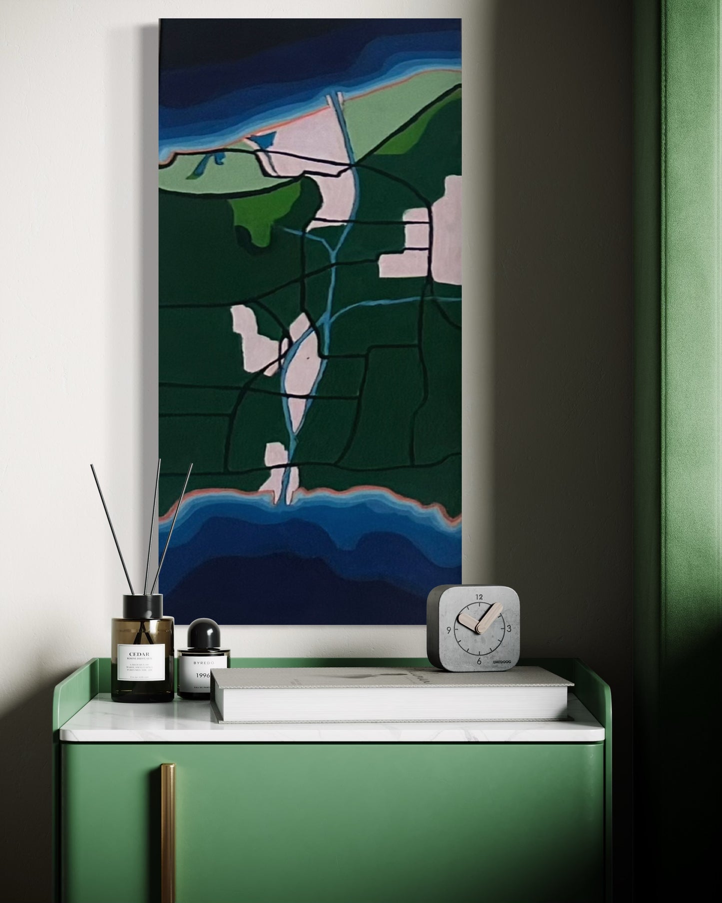
This artwork presents a stylized map of the Welland Canal, the key waterway connecting Lake Ontario (top) to Lake Erie (bottom) through the Niagara Peninsula in Ontario, Canada. Flowing from north to south, the canal is depicted with vivid blue lines winding through expanses of green land, representing the Niagara region’s lush agricultural landscape. The light-colored patches highlight urban areas, with the canal cutting a direct path through cities like St. Catharines, Thorold, and Welland.
Flanking the canal are intricate networks of roads and smaller waterways, while the rich blue at the top and bottom portrays the Great Lakes, tying together the natural and engineered elements of this vital shipping route.
12x24 - Original only $200 CAD
Shipping included (tariffs may apply to the customer on International orders)
Please allow 2-5 business days for shipping.
Share


